Borj Nord – viewpoint and museum of arms
GPS coordinates: 34°04’02.1″N 4°59’06.5″W (34.067247, -4.985139)
Museum: 10 MAD (in 2019)
In the end of 16th century Saadi sharif Ahmad al-Mansur ordered to build a chain of forts around Fez. He wanted to have control over rebellious Fez citizens and to protect the city from any external attacks. These forts are unique, because they were built according to Portuguese technologies of that time. (Probably by Portuguese prisoners captured during the Battle of 3 Kings in 1578).
Borj Nord was built in 1582. At first fort was of simple square shape. 4 notable triangle-shaped towers were added during the reign of Alaouites. Later the building served as a caserne. And in the years of French protectorate it was turned to a prison.
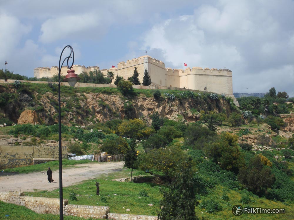
Since 1963 there’s the first in Morocco museum of arms. Expositions include weapon from 35 countries and all ages. The most comprehensive is Moroccan collection. In 2003 Borj Nord and collections have undergone a massive restoration.
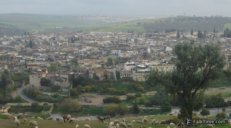
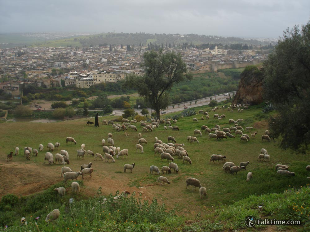
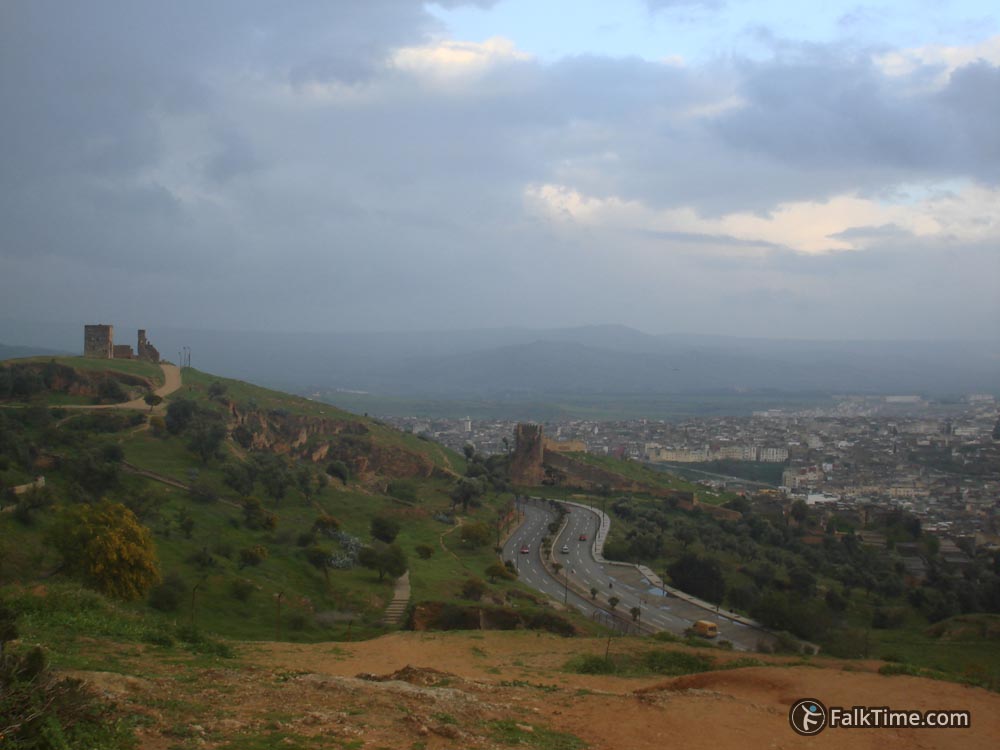
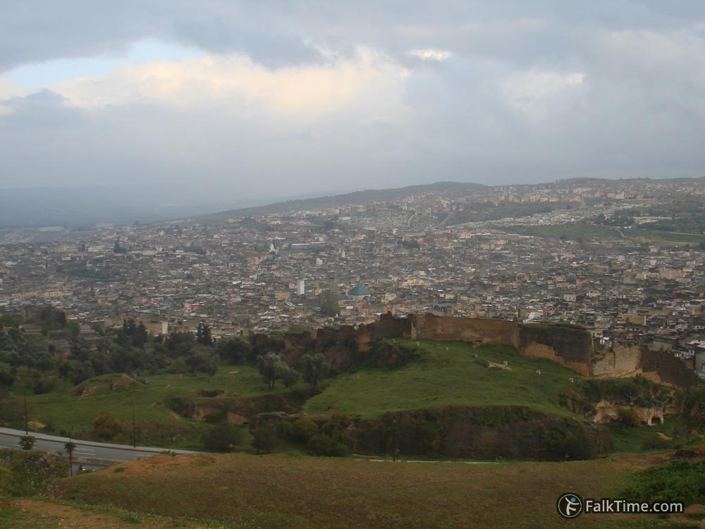
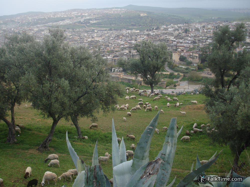
You don’t need to go to museum, if you want only to enjoy the view: 34°04’06.5″N 4°59’00.5″W (34.068482, -4.983463). Viewpoint offers a view to Old Medina and tombs of the Marinids. The view becomes more picturesque when there comes a shepherd with a flock of sheep. You should be prepared to see some garbage there.
Map
Take Fez map with you – just click the star and it will be saved in your Google account. Any locations in this region that I will add later will appear on your map.

