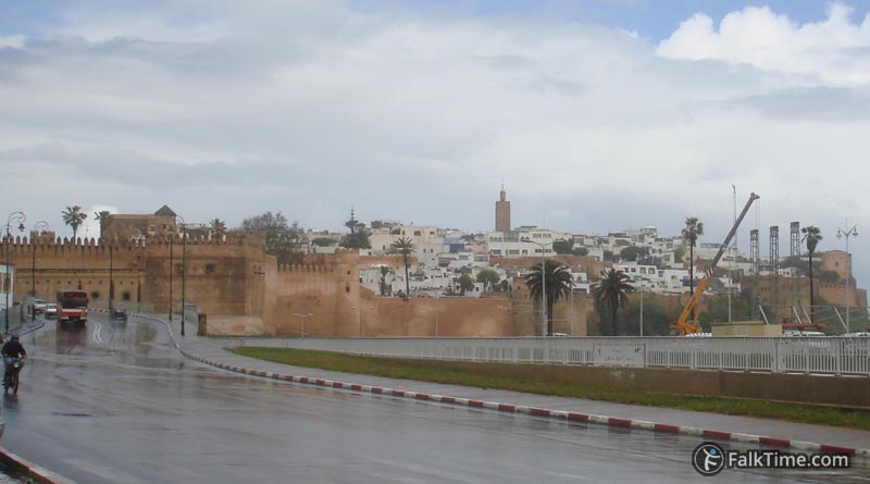
Kasbah of the Udayas
(Kasbah des Oudaias, Kasbah des Oudayas)
GPS coordinates: 34°01’51.3″N 6°50’11.3″W (34.030909, -6.836480)
Entrance: Free
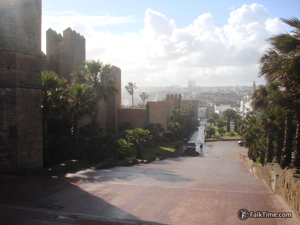
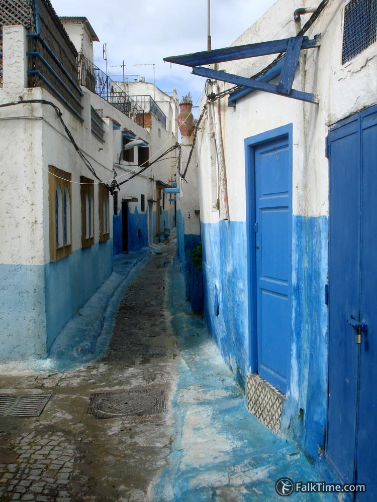
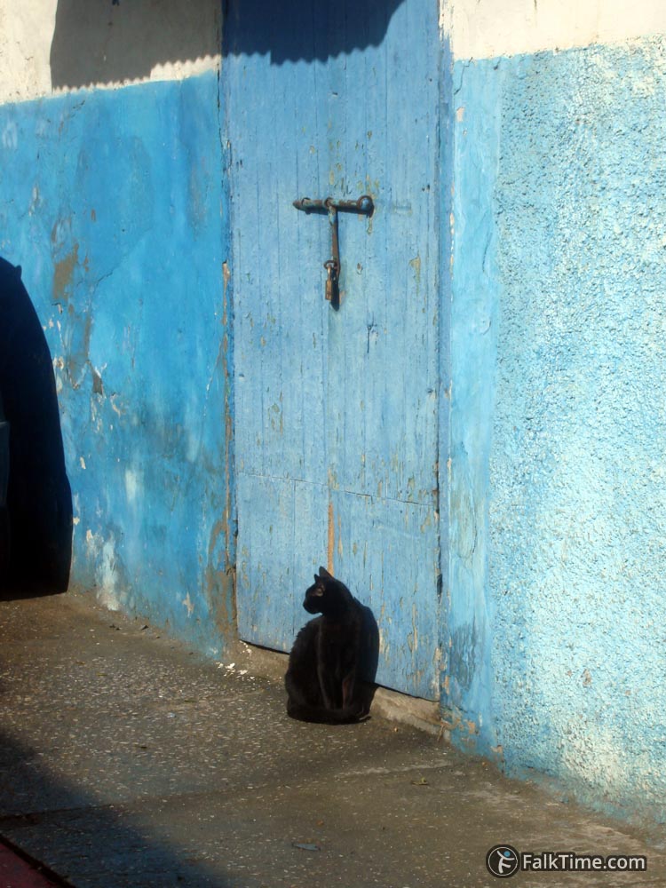
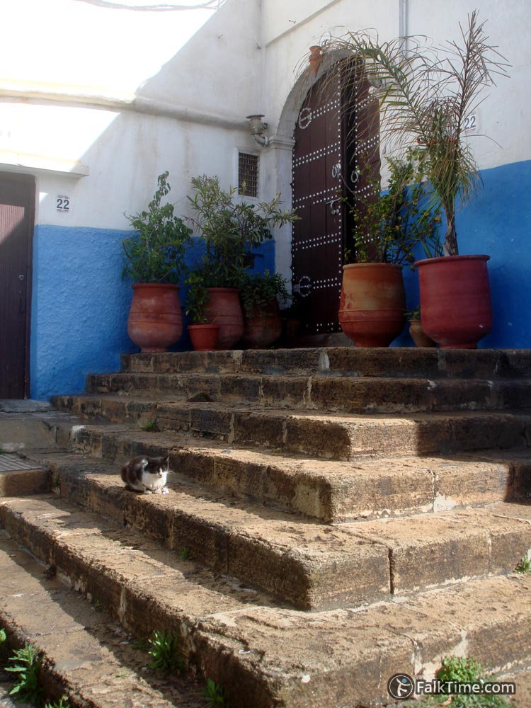
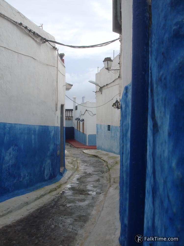
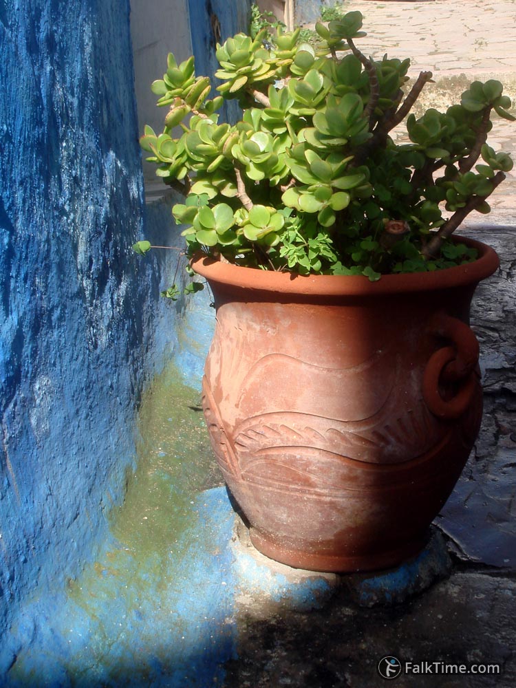
Rabat fortress was built by the Almohads in 12th century. Kasbah of the Udayas looks like a small medina – tiny curvy streets, traditional blue and white colors, fortificated walls.
Sights of Kasbah of the Udayas
– Viewpoint.
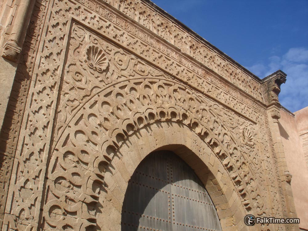
– Bab el-Kébir gate. There’s a nice view to the city from this gate. Coordinates – see coordinates of Kasbah.
– Streets of Kasbah – just take a walk!
Also there are a simple and restricted for Non-Muslims mosque (Al Kasbah, built in 1150) – 34°01’55.1″N 6°50’09.3″W (34.031983, -6.835916) – and a museum (former palace, built in 17th century, located in Andalusian garden) that can still remain closed due to restoration.


Map
Take Rabat map with you – just click the star and it will be saved in your Google account. Any locations in this region that I will add later will appear on your map.
Kasbah of the Udayas is marked with red polygon:

