
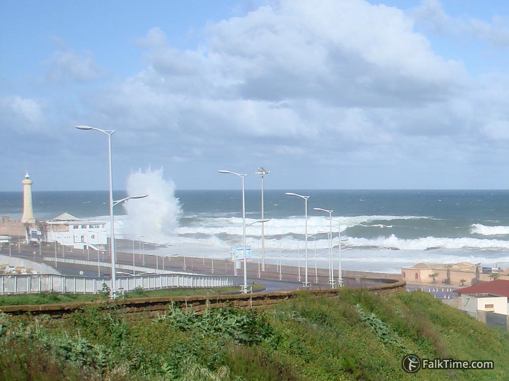
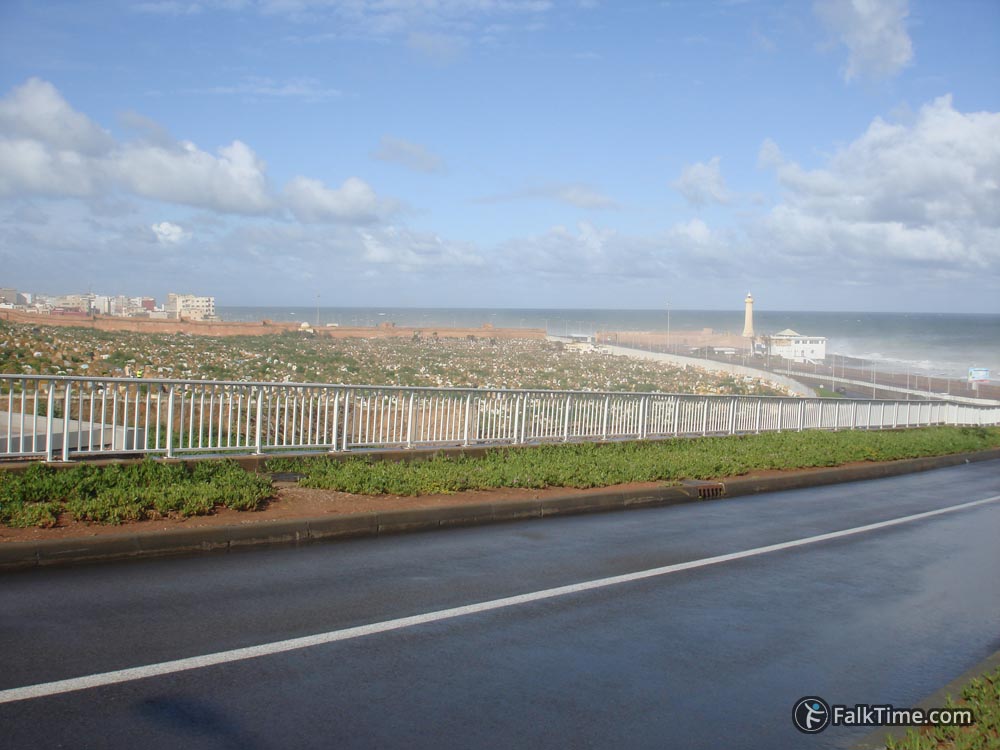
Lighthouse of Rabat
(Phare de Rabat, phare fort de la Calette)
GPS coordinates: 34°01’53.3″N 6°50’39.7″W (34.031469, -6.844352)
The lighthouse of Rabat was erected in 1919 on the Sirat bastion, which was built on a top of a rock in 1775-76. So it is slightly overhanging the ocean.
The lighthouse is 20 m. high. 31 m. above sea level.
Map
Take Rabat map with you – just click the star and it will be saved in your Google account. Any locations in this region that I will add later will appear on your map.