Main stations of Rabat and Salé
Railway stations
…have 2 functions:
a) Stops for long-distance trains.
b) Kind of subway to connect the city and its satellite.
I will list train stations in order of passing them by:
1. Gare de Rabat-Agdal
GPS coordinates: 34°00’07.7″N 6°51’20.2″W (34.002136, -6.855605)
2. Gare de Rabat-Ville
GPS coordinates: 34°00’59.6″N 6°50’07.7″W (34.016562, -6.835479)
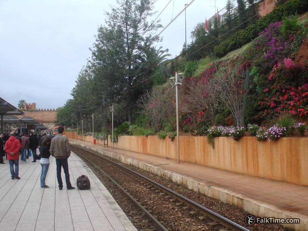
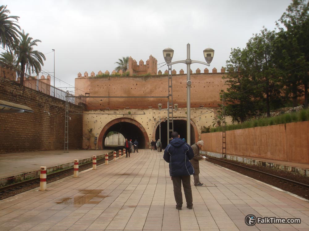
Neat and tidy station in the middle of Rabat, the closest to all of sights. It consists only of 1 platform and 2 ways – impossible to get lost. There’s a tram stop next to it.
This is the first railway station in Morocco. It was opened in 1923.


3. Gare de Salé-Ville
GPS coordinates: 34°02’18.6″N 6°48’55.9″W (34.038493, -6.815536)
This railway station is the closest to the airport. But still you need to take a petit-taxi to come to the airport.
There’s a tram stop with the same name «Gare de Salé-Ville» next to it.
4. Gare de Salé-Tabriquet
GPS coordinates: 34°03’08.4″N 6°48’18.2″W (34.052338, -6.805057)
Grand-taxis station «Hassan II»
GPS coordinates: 34°01’24.8″N 6°49’59.3″W (34.023563, -6.833140)
It is next to medina of Rabat and Nouzat Al Hassan garden. Also this station can be reached by tram.
Bus stations
They are located far from Rabat city center. According to the reviews they are «temples of anarchy, mess and disorganization». Honestly, I didn’t check up bus stations in Rabat – I was using trains.
Gare Routiére de Salé
GPS coordinates: 34°02’08.3″N 6°48’07.6″W (34.035642, -6.802114)
Can be reached by tram. Its stop is 200 m. away from bus station.
Gare Routière de Kamra Rabat
GPS coordinates: 33°59’27.6″N 6°52’01.7″W (33.990997, -6.867125)
Trams are quite far from Kamra – about 1 km. to go.
Buses operated by CTM come to this station. Also there’s a CTM station 500 m. away from Kamra – 33°59’12.8″N 6°52’10.9″W (33.986879, -6.869682).
Map
Take Rabat & Sale map with you – just click the star and it will be saved in your Google account. Any locations in this region that I will add later will appear on your map.
Stations are marked with green signs. Click the upper left button in order to see menu of the map and its layers.


