

Medina of Rabat
GPS coordinates: 34°01’38.8″N 6°50’00.5″W (34.027433, -6.833474)
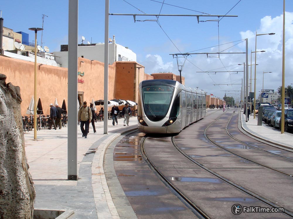
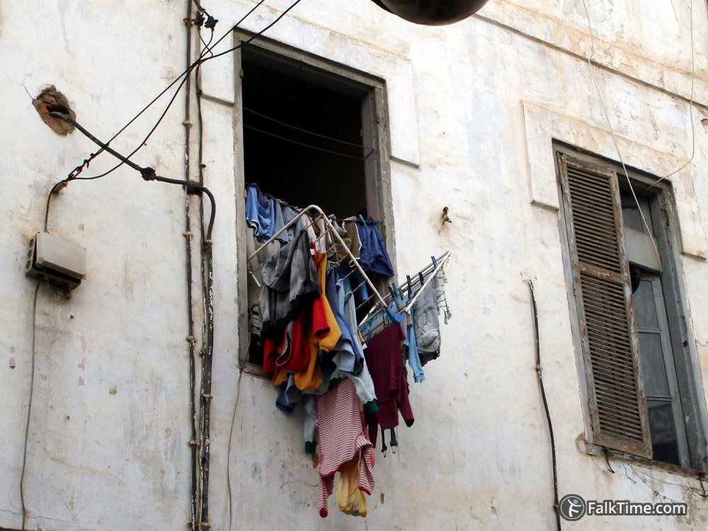
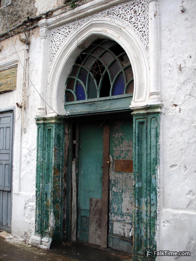
Medina of Rabat differs from medinas of Fez, Marrakesh or Essaouira. Its streets are wider, sellers are not that importunate, it’s hard to get lost and ultramodern trams are running along ancient walls. This fusion of old times and new canons is additionally mixed up by the straight Mohammed V avenue – that goes right through medina and Ville Nouvelle.
What to see in medina of Rabat
Besides walking around you can take a look at:
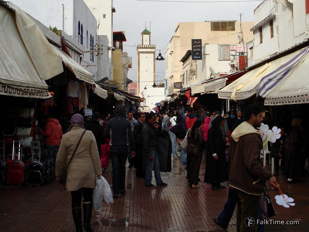
– The Old Market (see coordinates in the beginning);
– The Central Market: 34°01’20.8″N 6°50’19.4″W (34.022434, -6.838729);
– Mosque of Moulay Sliman (constructed in 1822): 34°01’24.7″N 6°50’14.6″W (34.023523, -6.837382);
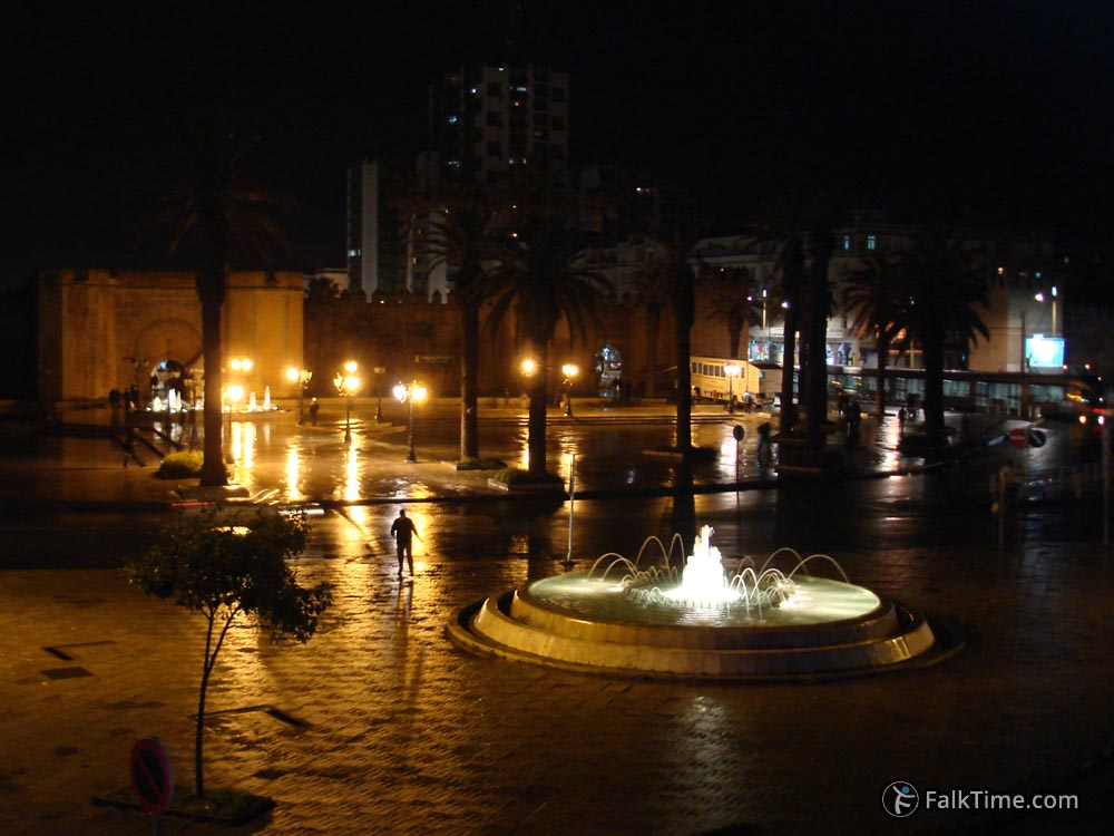
– Fountains on Bab El-Had square in front of the gate with the same name: 34°01’18.7″N 6°50’26.7″W (34.021866, -6.840742).
There’s Nouza Hassan garden next to medina.
Many riads are located here. Due to proximity to sights of the city and train station “Rabat Ville” medina is a convenient district for accommodation.


Map
Take Rabat map with you – just click the star and it will be saved in your Google account. Any locations in this region that I will add later will appear on your map.
Medina of Rabat is marked with blue polygon:


