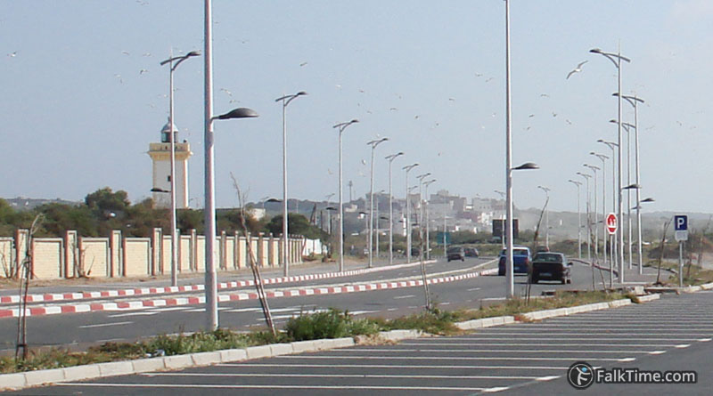
Sidi Mogdoul mosque and Sidi Mogdoul lighthouse
GPS coordinates of lighthouse: 31°29’32.3″N 9°45’50.6″W (31.492291, -9.764043)
GPS coordinates of mosque: 31°29’35.2″N 9°45’45″W (31.493099, -9.762508)
Sidi Mogdoul (also Megdoul, Magdoul and Mogdul) is a Muslim saint that was burried in Essaouira in 11th century AD. It is thought that his name could be transformed to the name “Mogador”.
Lighthouse is still operational. It was built in 1914 and has a height of 14,8 m.
Map
Take Essaouira map with you – just click the star and it will be saved in your Google account. Any locations in this region that I will add later will appear on your map.


