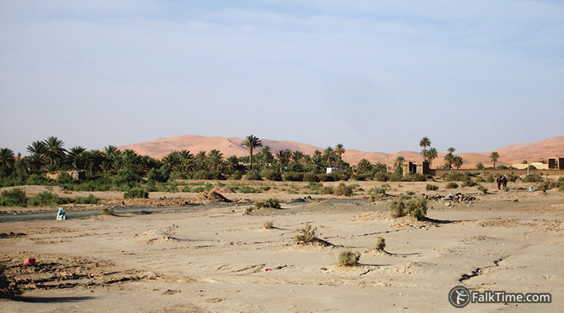
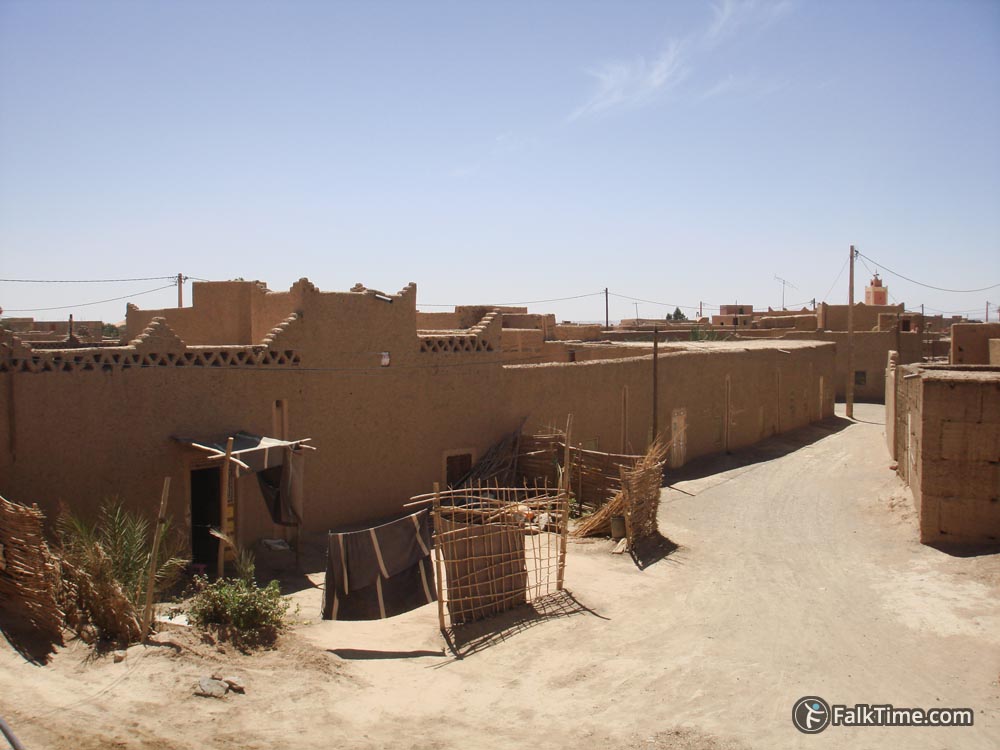
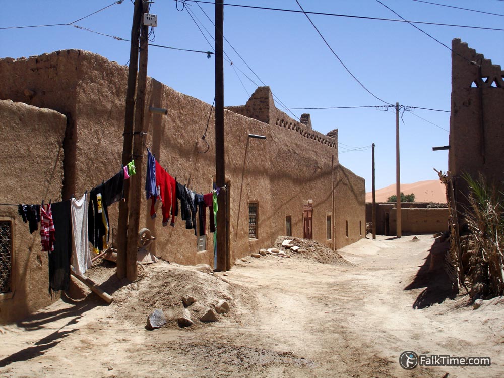
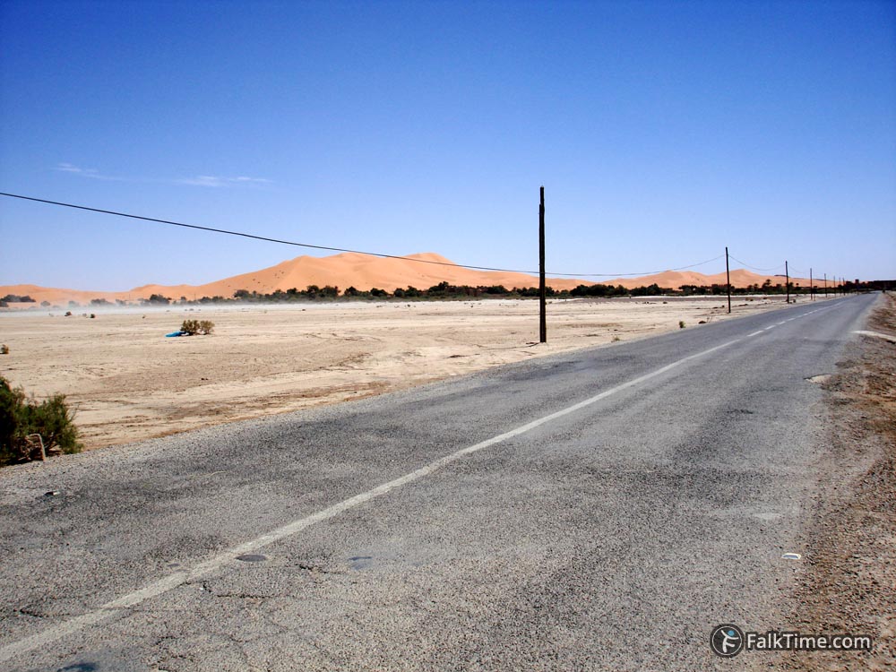
A village on the south edge of Erg Chebbi. The road to village was built only in 2000s. The other villages next to dunes are:
- Hassilabied
- Tanamoust
- Takoujt
Bus station makes Merzouga most convenient location to those who travel in Morocco by public transport. GPS coordinates: 31°05’45.9″N 4°00’39.1″W (31.096088, -4.010846).
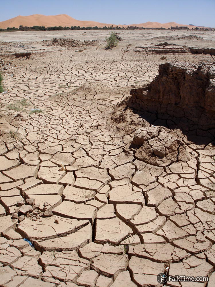
It’s hard to believe that these desert landscapes hide large amount of water under ground. Furthermore in 2006 villages were heavily damaged by a flash flood.
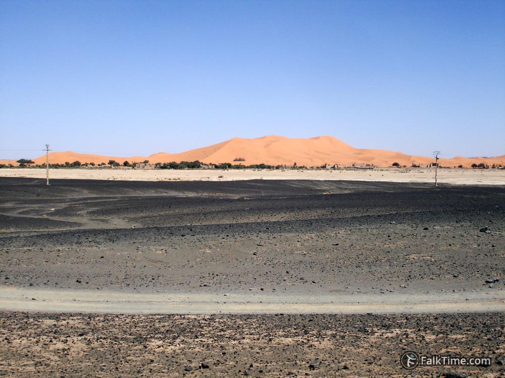
The main sight of Merzouga is the surrounding nature:
You can buy a camel trekking tour (even with an overnight stay in desert) at your hotel. Also locals can arrange you a sandboard ride or a trip by off-road vehicles.
Those who would like to go to and from Merzouga by bus will need a bus station in Errachidia (to change bus). Coordinates of bus station in Errachidia: 31°55’45.5″N 4°25’33.8″W (31.929317, -4.426060). CTM buses arrive to (and depart from) this bus station.



Map
Take Merzouga map with you – just click the star and it will be saved in your Google account. Any locations in this region that I will add later will appear on your map.

