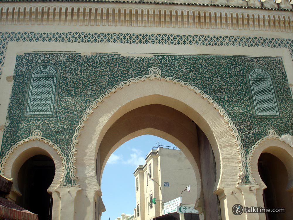
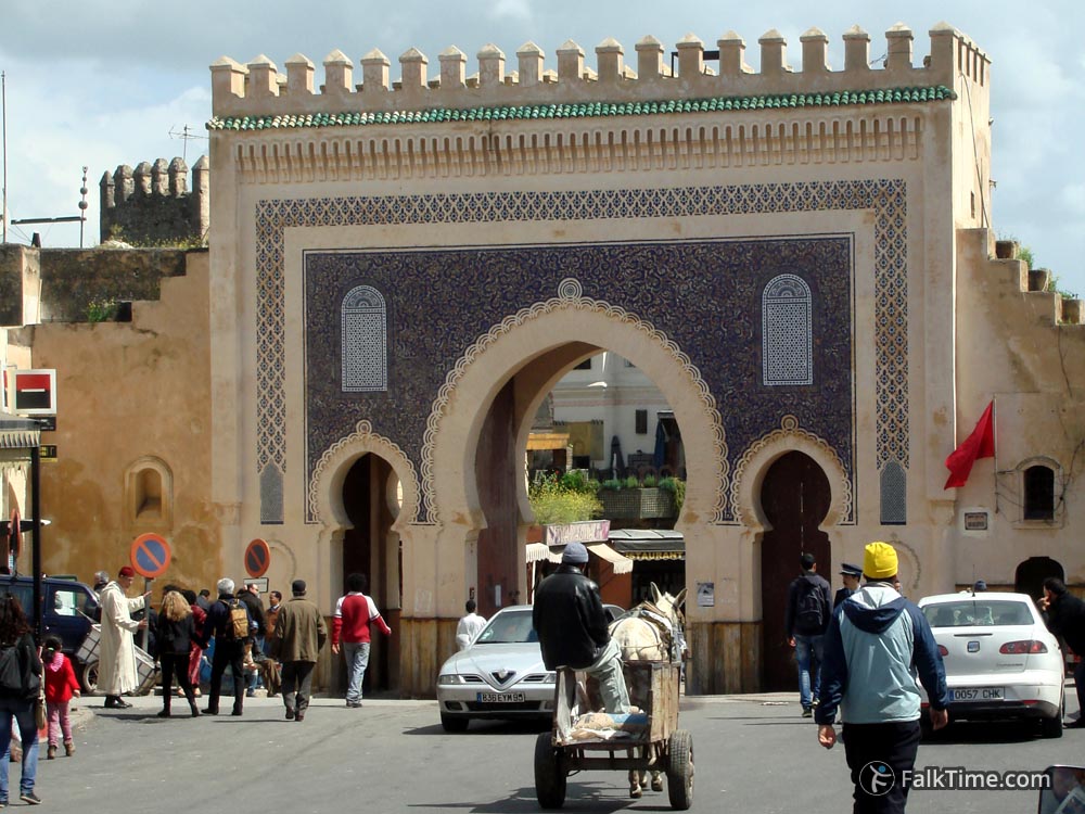
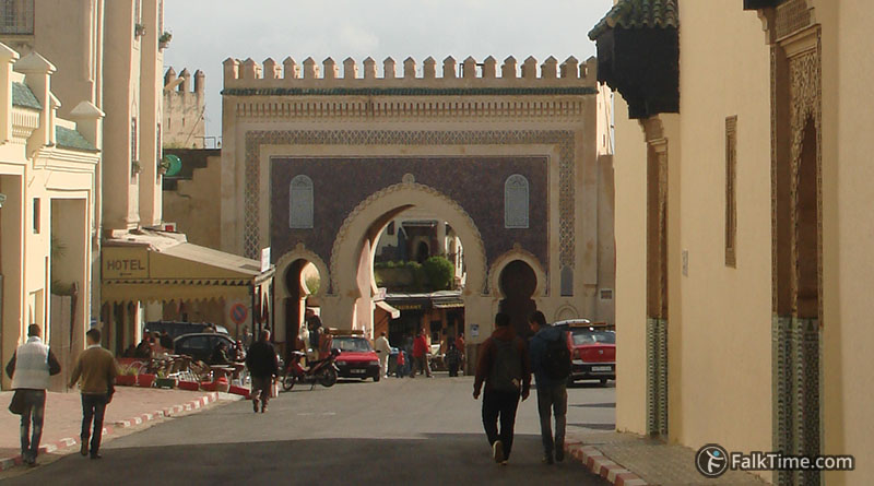
Bab Boujloud city gate
(Bab Bou Jeloud)
GPS coordinates: 34°03’42.1″N 4°59’02.7″W (34.061688, -4.984085)
First western city gate to old medina was simple and unremarkable. One can see it nowadays to the left from Bab Boujeloud. In 1912 city walls as a fortification system became useless. The idea of building a new beautiful gate was brought by just arrived in Morocco French colonialists.
New gate was erected in 1913 in Moorish style with traditional Moroccan ornaments. Blue (color of Fez) outside medina and green (color of Islam) inside.


Map
Take Fez map with you – just click the star and it will be saved in your Google account. Any locations in this region that I will add later will appear on your map.


