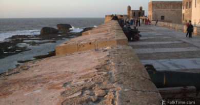
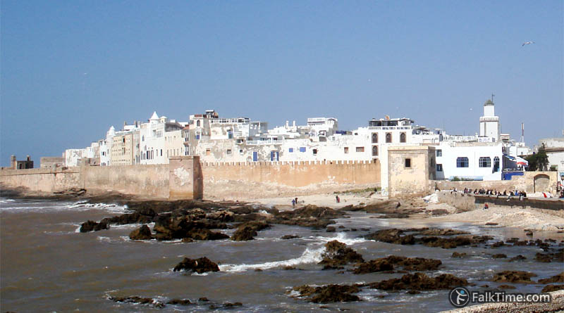
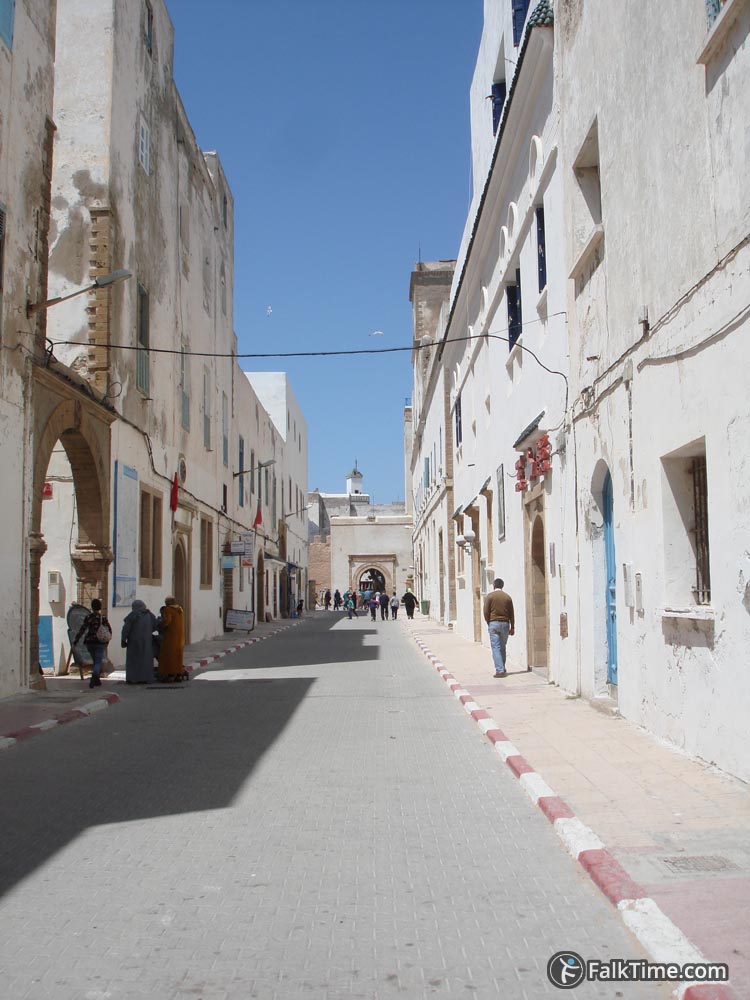
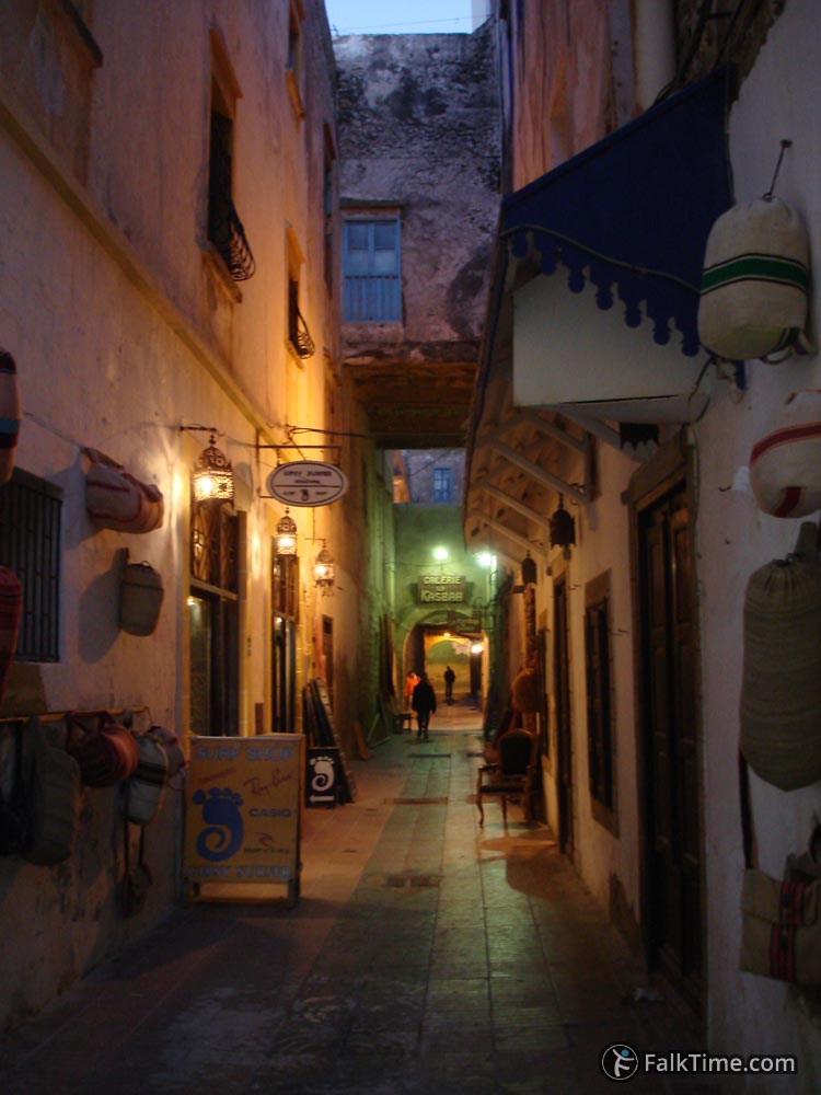
Medina of Essaouira
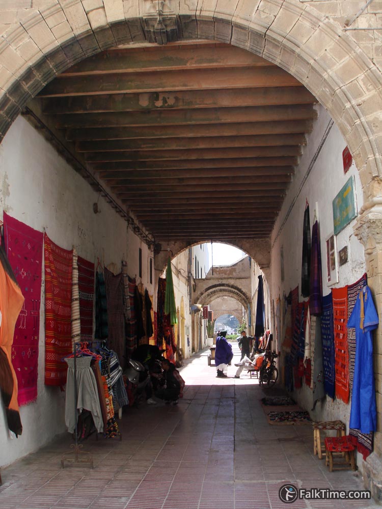
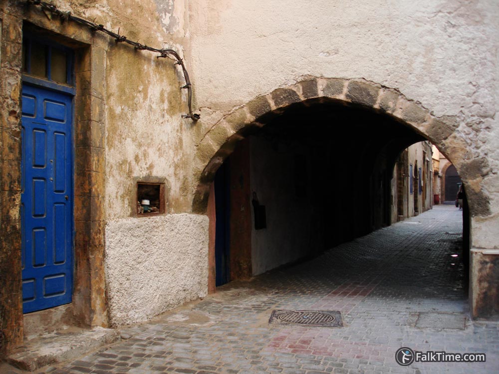
It is hard to get lost in medina of Essaouira – it is not a big one and main streets tend to be wide enough and straight, as the plan of town was influenced by European geometry.
Gates of medina
Bab Marrakech
GPS coordinates: 31°30’42.9″N 9°45’57.1″W (31.511929, -9.765869)
From this gate starts the way to Sahara. Caravans full of goods were leaving Essaouira. They passed Bab Marrakesh and headed to Timbuktu.
Bab Doukkala and souk Jdid
GPS coordinates: 31°30’58.3″N 9°45’57″W (31.516186, -9.765829)
Bab Doukkala leads to the north direction the town of Safi. On the intersection of 2 straight streets that start from Bab Marrakech and Bab Doukkala there is a market – souk Jdid (red rectangle on the map, map is in the end of article).
Bab el-Sebâa
GPS coordinates: 31°30’40.8″N 9°46’11.3″W (31.511328, -9.769797)
In 19th century kasbah zone of medina was extended. There were built new walls to include new territory. So in 1866 Bab el-Sebâa gate was erected as a new entrance.
Mellah
Jewish quarter is now partly abandoned, today only 3 Jews live in Essaouira. The other ~40% of population of the town left for Israel. That’s why many houses in Mellah just fall apart and after that they are demolished. You will find a lot of Jewish places outside Mellah quarter too – just be observant and notice hexagrams.
Ben Youssef mosque
GPS coordinates: 31°30’45.8″N 9°46’10.2″W (31.512727, -9.769502)
This is the oldest (1773) and the biggest (2000 sq.m.) mosque of Essaouira. The height of minaret is ~67 m. high.


Map
Take Essaouira map with you – just click the star and it will be saved in your Google account. Any locations in this region that I will add later will appear on your map.