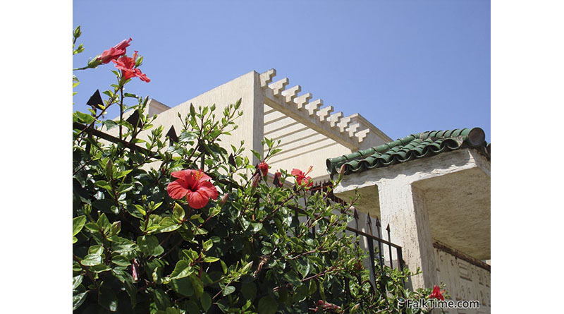
Cite Dakhla district
(Cité Dakhla)
GPS coordinates: 30°24’27″N 9°33’07″W (30.407352, -9.551996)
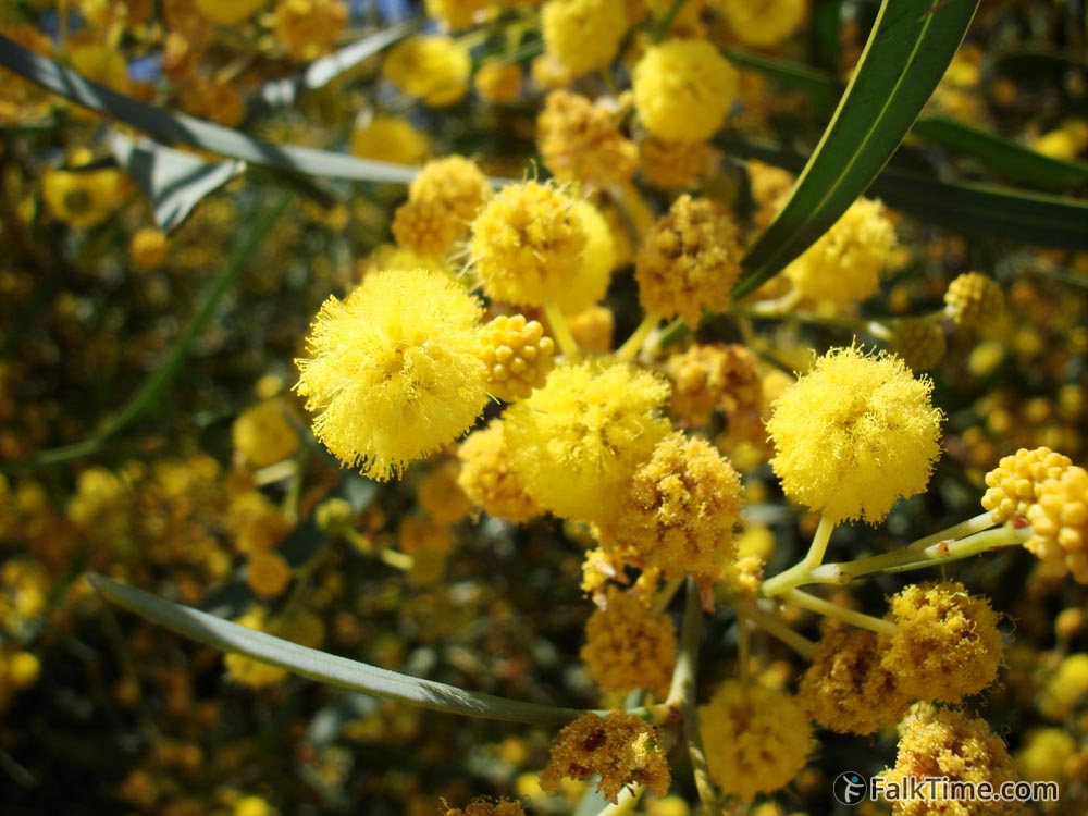
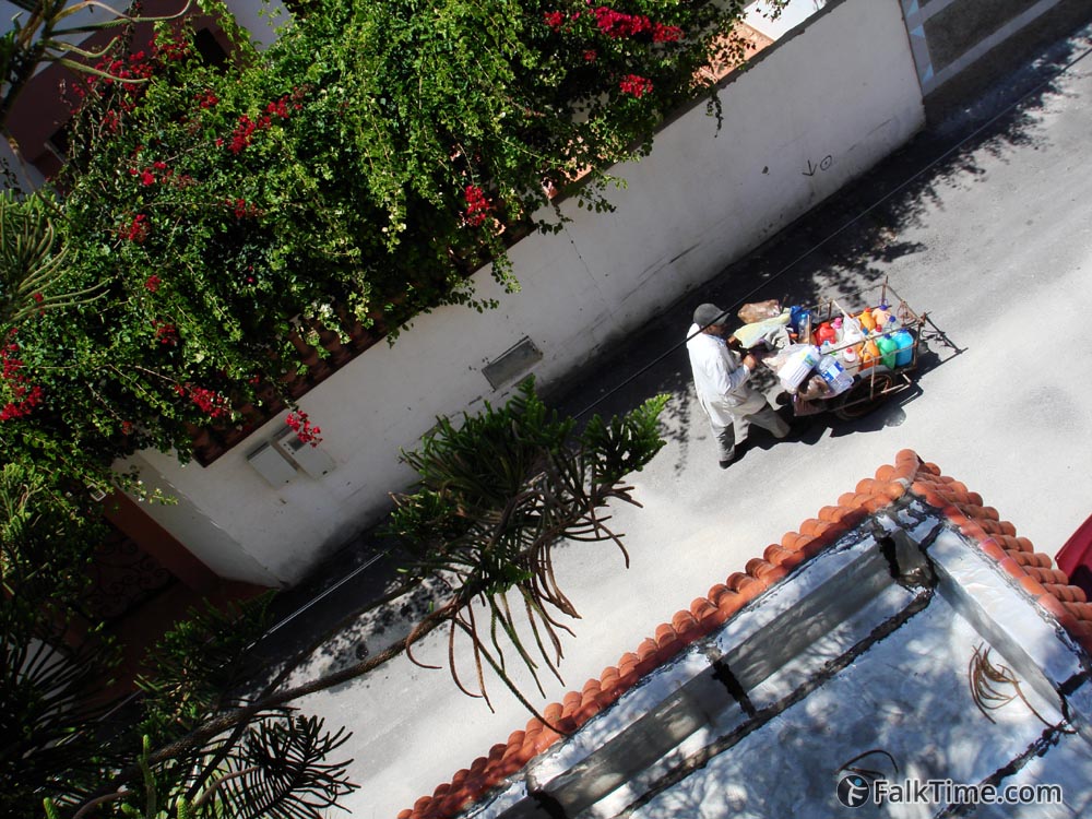
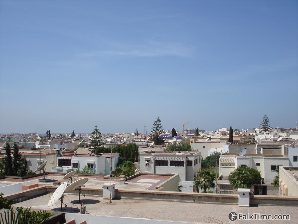
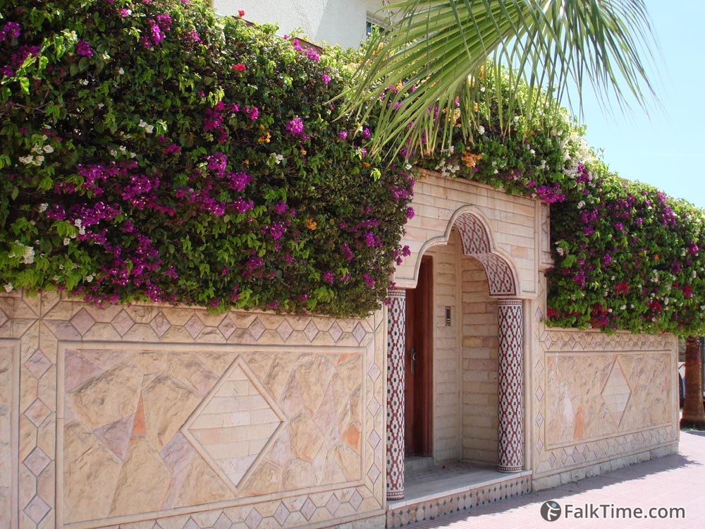
GPS will bring you to a small garden of Cite Dakhla neighbourhood. Next to it you will find narrow streets with private houses and a lot of blooming plants over the fences. This district is good for a silent walk or for accommodation (if you prefer to have bus station next to you rather than the beach). Agadir’s bus station is located in the opposite end of Cite Dakhla: 30°24’58″N 9°33’58″W (30.416031, -9.565975)
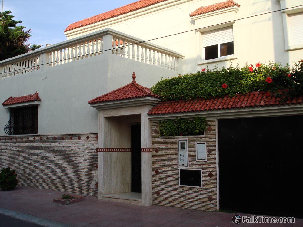
Please pay attention that the streets in this district are too narrow, so GPS won’t be 100% accurate. If you have booked a room in this district, you’d have telephone number, address and the picture of your guesthouse building with you.
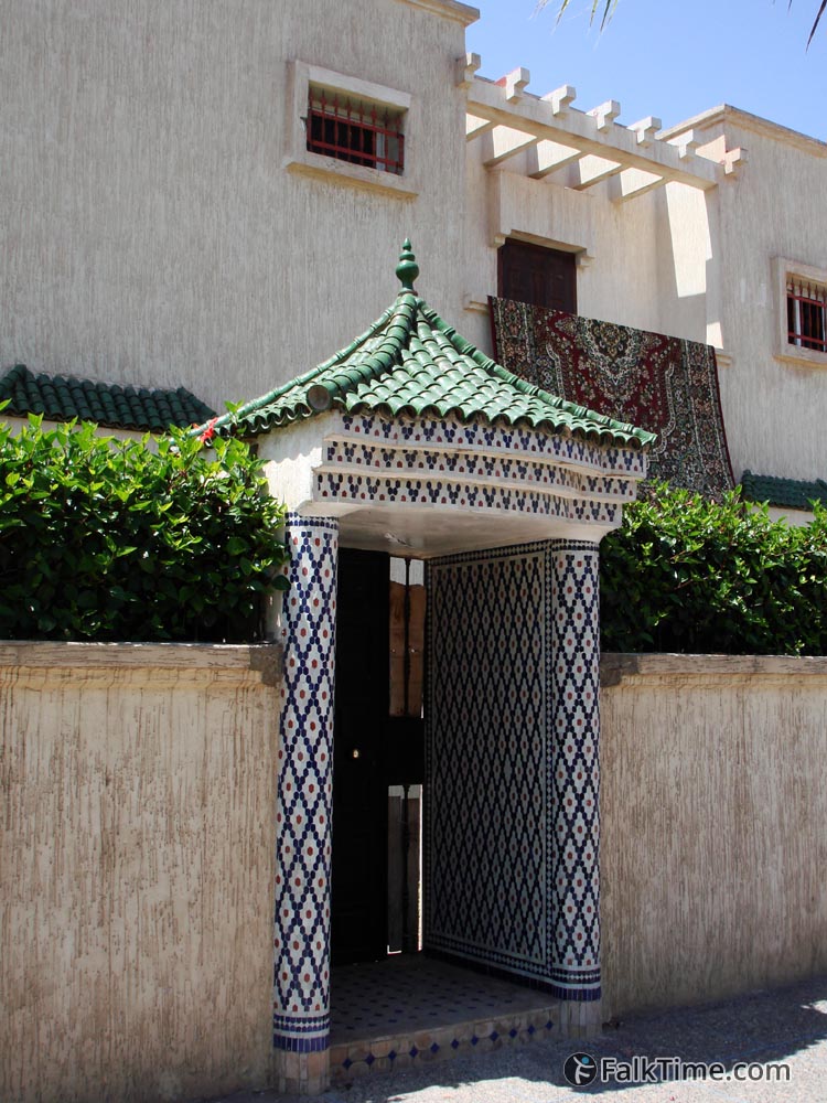
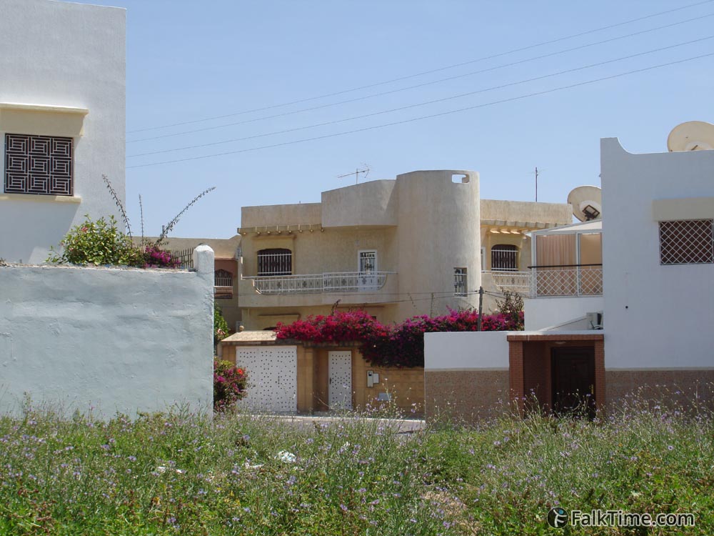
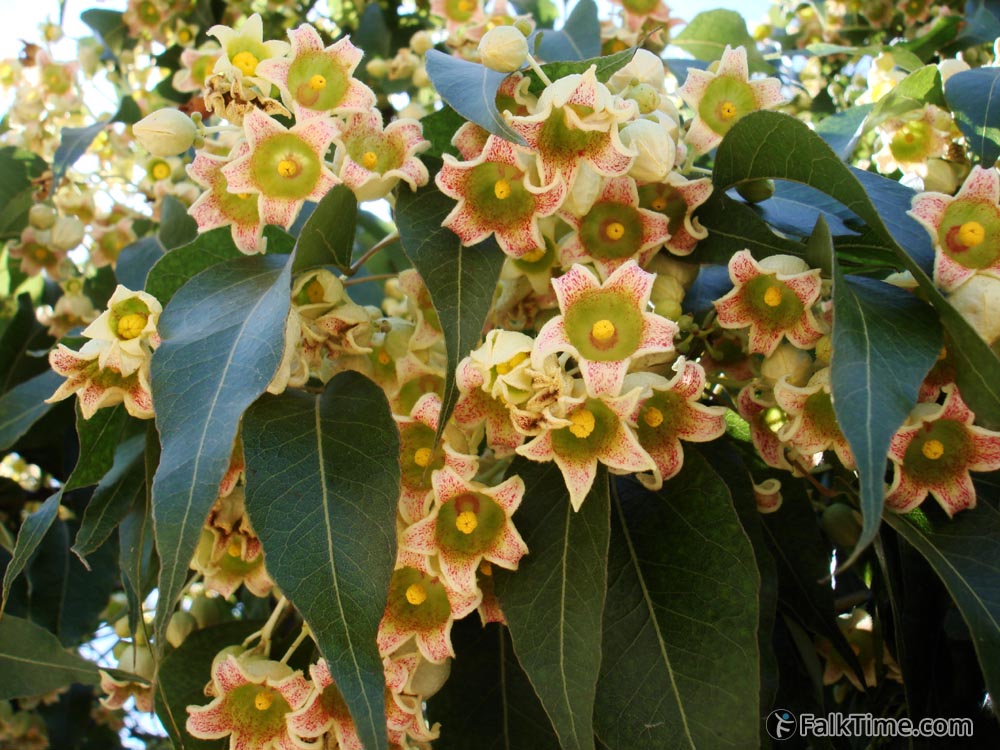
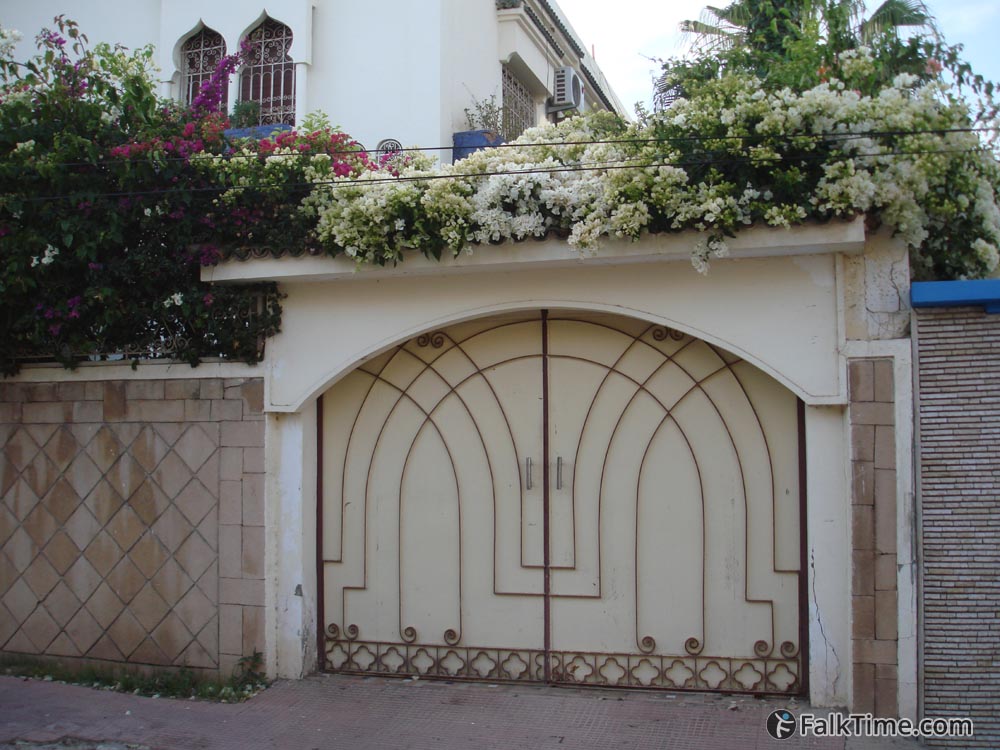

I’ve given you coordinates of 2 points that mark borders of district. Of course you shouldn’t go straight from one to the other – just dive in small, neat and crowdless streets and catch your own experience!
Map
Take map of Agadir with you – just click the star and it will be saved in your Google account. Any locations in this region that I will add later will appear on your map.

